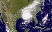
 Katrina Before and After Page
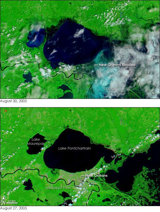
Here are before and after satellite images of Katrina's damage around
New Orleans. Note the dates below each picture.
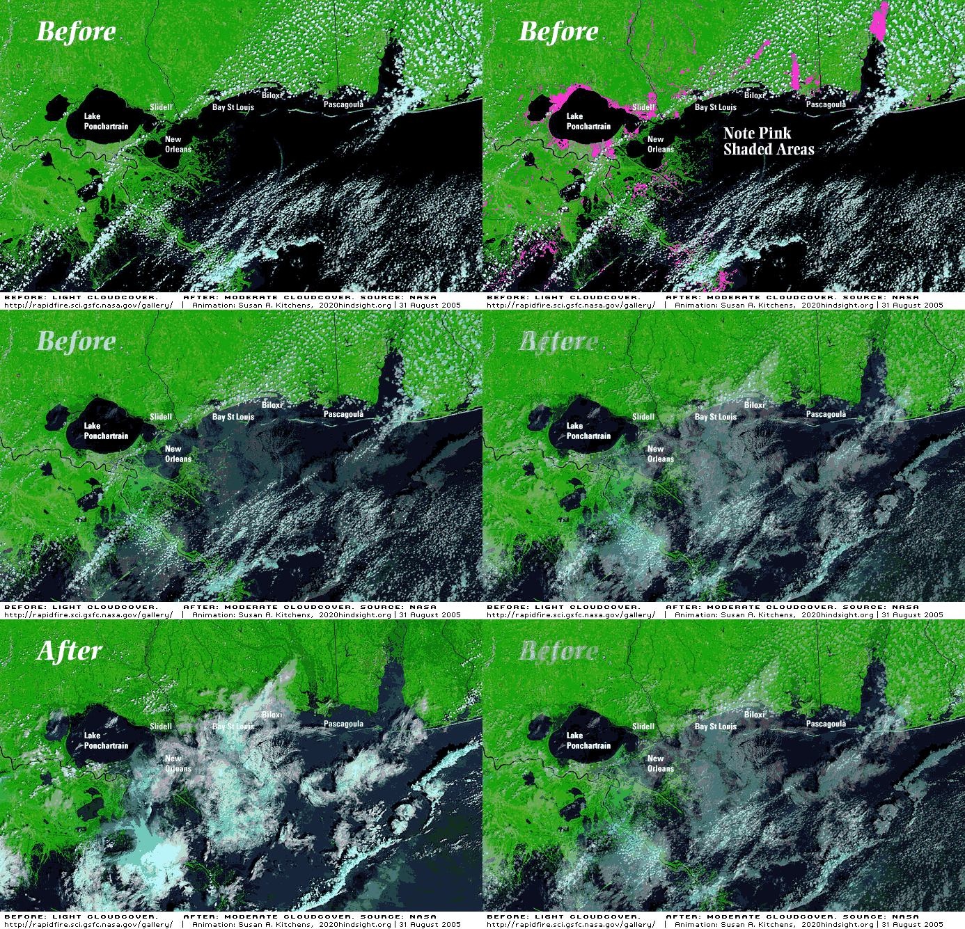
The picture below is an animated gif file. After the "Before" picture
you will see some pink highlights. Find one and stare at it as it
changes. The flooding is only part of the story. Note how the land
between Lake Ponchartrain and Lake Maurpas to the left as grown much
smaller. Also, the Bonne Carre Spillway has partially filled in just
west of the metro area. Finally, note how much land has been lost to
the extreme southeast near the mouth of the Mississippi River.
697
The photos below show another before and after view of the area. You will need to scroll right to see the 'after' image.
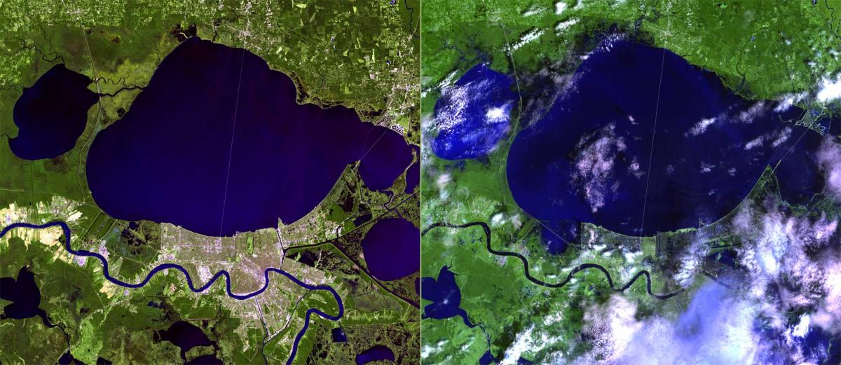
The two pictures below are hi-res pictures of before…
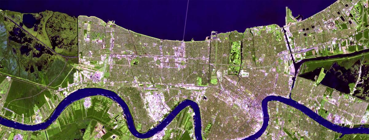
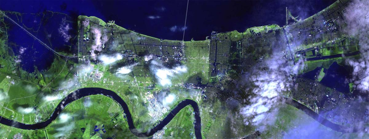
…and after. The darker areas in this photo are areas that are flooded.
HOME
|
UPDATES
|
DONATE |
GALLERIES | PEOPLE | STORIES | LESSONS | LINKS
 Katrina Before and After Page
 Katrina Before and After Page


